Due To A Weak La Niña, Some Parts Of Texas Could See More Storms Than Usual This Spring
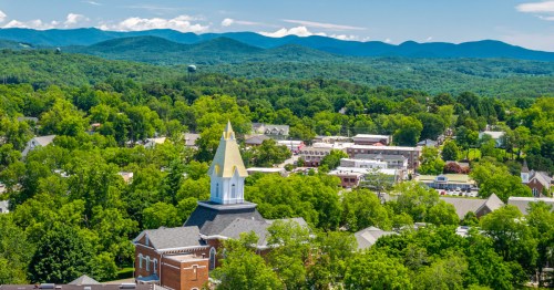
Central Texas is expected to experience a stormier-than-usual spring due to a weak La Niña, potentially leading to severe weather but less overall rainfall.
You'd think Texas would be due for a break after the Arctic blast we recently endured, but Mother Nature has other ideas. Due to a weak La Niña, this spring could be one of the stormiest we've seen in a long time. Hold on to your hats!
We've all heard the old adage, "April showers bring May flowers," but it doesn't look very promising for Central Texas this year.

Due to a weak La Niña, more severe storms than usual are forecast this spring - but that doesn't necessarily mean more rain.

Instead, it could mean upper-level areas of low pressure push through the region quicker and more frequently.

These fast-moving systems could produce hail, high winds, and tornadoes rather than the multi-day flood events Central Texas often experiences.

Since the storms won't be hanging around long enough to dump a significant amount of rain, the overall precipitation for the season may end up being less than average. This could lengthen the drought conditions much of the state is currently experiencing.

Yep, that's right - even after the Arctic blast in February, we're still due for a warmer-than-average spring. Does that mean it's time to break out the beach towels already?

So hold onto your hats, Austinites and other Central Texans! It looks like we're in for a wild ride this spring - let's hope it at least rains enough for a decent wildflower season!

What do you think about the prediction for a stormier-than-usual spring in Central Texas? Tell us your thoughts in the comments section below, and check out our previous article to learn the best spots to see bluebonnets if they do end up rearing their heads this season.
Subscribe to our newsletter
Get the latest updates and news
Thank you for subscribing!