The Creepiest Hike in North Carolina Takes You Through the Ruins of an Airplane Crash
Hiking to the Grandfather Mountain plane crash site in North Carolina offers a challenging and haunting adventure.
Hiking in North Carolina opens up a world of possibilities. From refreshing waterfalls to extraordinary mountain views and ruins of entire towns, the things you'll discover hiking in the wilds of the Tar Heel State are astounding. One particularly startling thing you may encounter along a certain trail is the site of a plane crash on Grandfather Mountain. The hike to the Grandfather Mountain plane crash site is both a creepy and sad adventure to take.
The hike to this plane crash in North Carolina will reveal the wreckage of a tragic accident that occurred more than 40 years ago. The trail itself is a challenging seven-mile hike to the summit of Grandfather Mountain. It rises around 2,000 feet in just about three miles.

It can be a little tricky to find the crash site, so follow along with us, and we will tell you where you can start and what to look for so you know right where to go.
It turns out, someone lost his life here back in May of 1978 when turbulent, stormy weather caused him to lose his way and crash into the side of Grandfather Mountain. The unnamed pilot was flying alone, en route from Pennsylvania to Florida, and had more than 500 hours of flying experience under his belt.

The crumpled remains of his Cessna 187Q are a tragic memorial to the fatal crash.
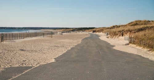
Those wishing to visit this haunting site can take a trail from the Blue Ridge Parkway, along the Grandfather Mountain ridge line, to access it.
To get to the Daniel Boone Scout Trail, you'll park at the Boone Fork Parking Area (mile marker 299.9) on the Blue Ridge Parkway. You'll start out on the Tanawha Trail from the parking area and follow it to its intersection with the Daniel Boone Scout Trail.
Debris from the crash site is visible on the north side of the trail, 3.1 to 3.2 miles from the Boone Fork parking area. Most of the debris is located at the first site, but a wing is visible at the 3.2-mile site. The debris field is located between points 3 and 4 on the above map.
Please remember that someone lost their life here. Posting photos of yourself climbing on the wreckage may not be well-received on social media or anywhere else.

If you want to try to tackle one of the hardest trails in North Carolina, circle back around to the other side of the loop and travel counterclockwise.
But be forewarned, it's not a trail for beginners. The hike is rated as challenging by AllTrails, and rightfully so.
To hike the entirety, from the trail's start on the Tanawha Trail you'll pick up the Daniel Boone Scout Trail and then once you approach Calloway Peak (Grandfather Mountain's summit) you'll merge with Grandfather Trail. It's about 6.8 miles, one way, from the parking area to Calloway Peak.

Whether you're going all the way or simply as far as the crash site, you'll need a permit to hike this route. This is merely to let officials know you're in the wilderness, should something happen and you don't return.
The trail along this North Carolina plane crash hike on Grandfather Mountain can be tricky. A helpful tool for this hike is the AllTrails+, where you can download maps for offline use, which is perfect in the low-reception areas of the Blue Ridge Mountains. For more information, please check out the Grandfather Mountain State Park page.
Did you know there is more than one instance of plane crash wreckage in these mountains? Here's another!
Feeling inspired? Try planning your own trip using Only In Your State’s itinerary planner.
Subscribe to our newsletter
Get the latest updates and news
Thank you for subscribing!