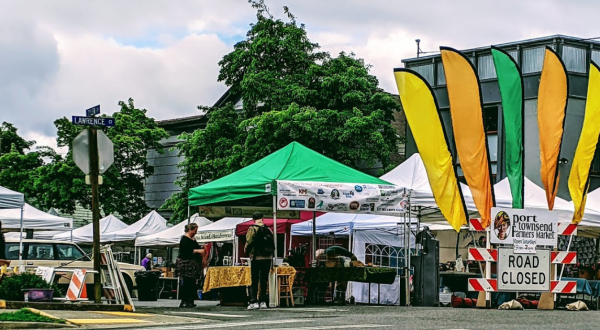
Seasonal The Seasonal Farmers’ Market In Washington That We’re Absolutely Obsessed With By Andrea Verschuyl
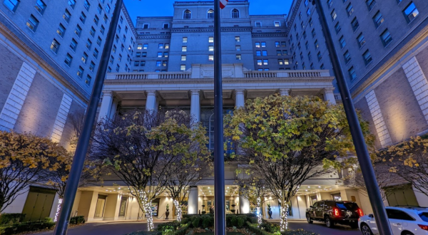
Dining This Speakeasy Hidden In An Iconic Seattle Hotel In Washington Is Perfect For A Date Night By Andrea Verschuyl
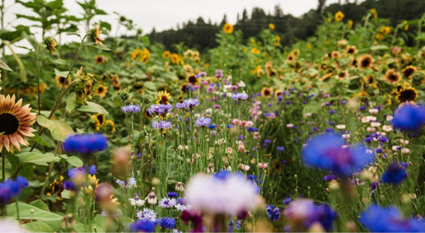
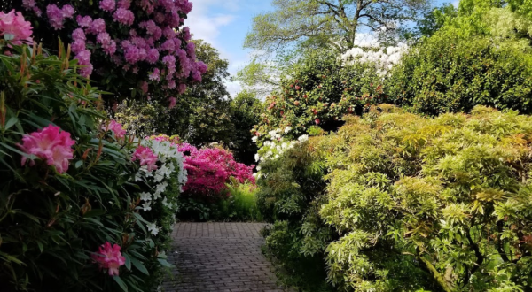
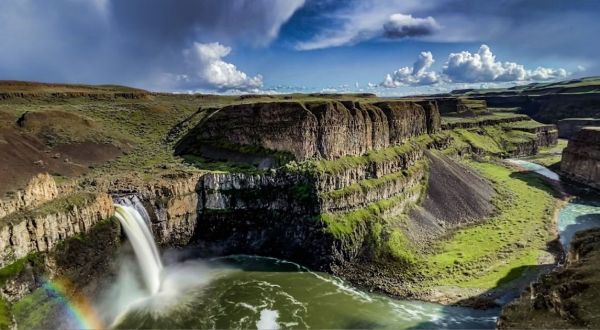
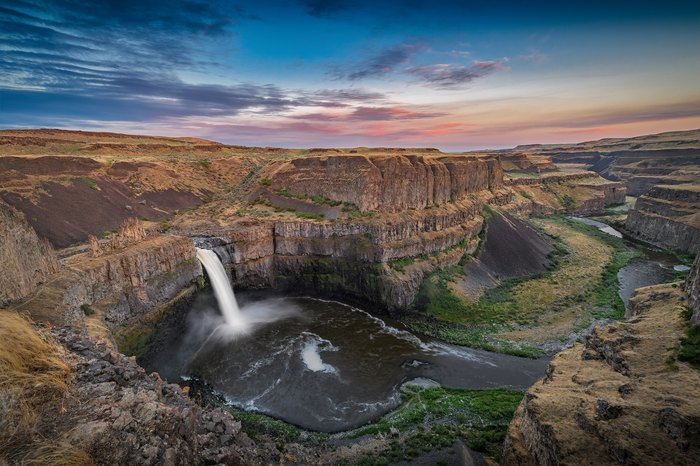
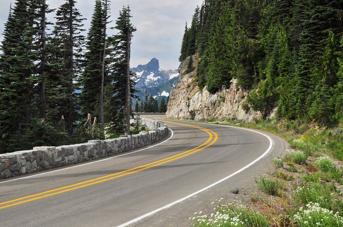
Road trip The Incredible Flower Road Trip Through Washington Is The Ultimate Spring Adventure By Andrea Verschuyl
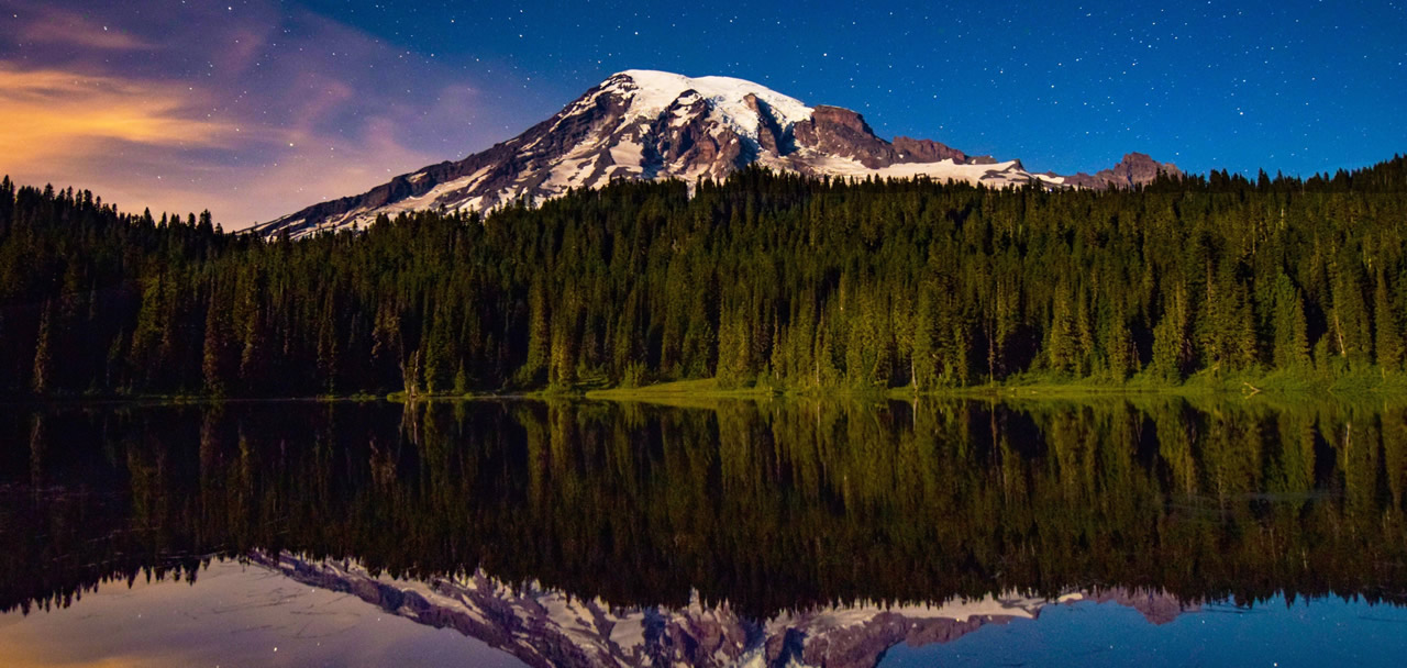
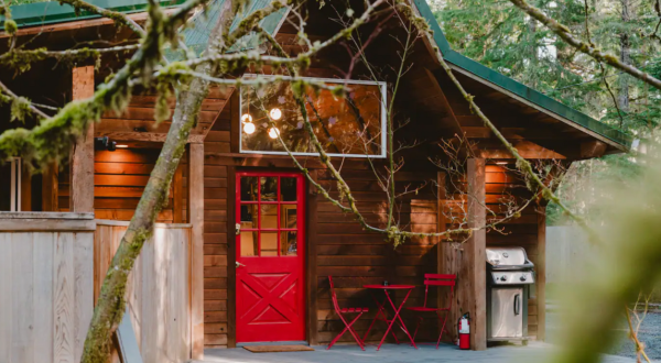
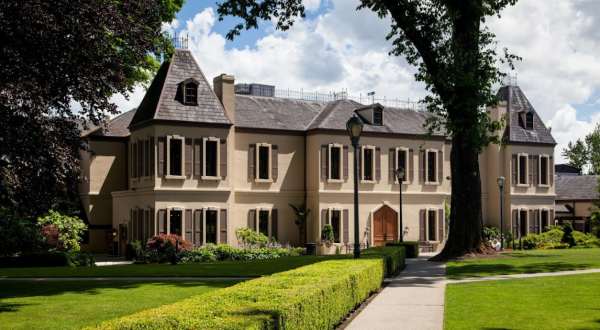
Accommodation The Secluded Cabin In Washington Is Just Mintues From Mount Rainier National Park By Andrea Verschuyl
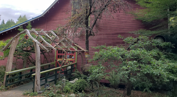
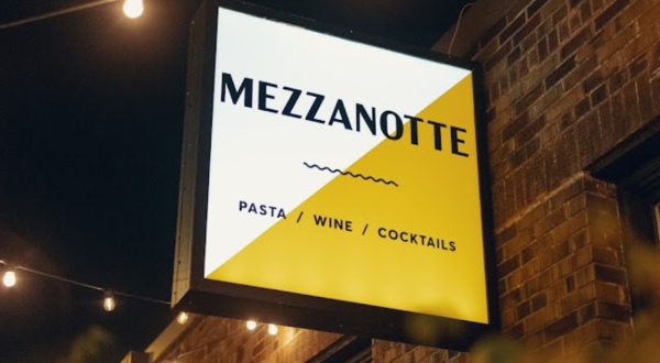
Dining This Enchanting Garden Restaurant In Washington Will Transport You To Another World By Andrea Verschuyl
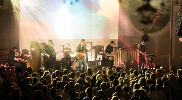
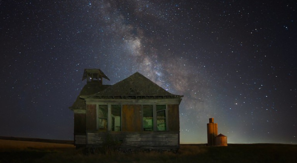
Explore This Is The Most Washington Song You’ll Ever Hear, And We Can’t Stop Listening To It By Andrea Verschuyl
Road trip Sip And Sample Your Way Through Woodinville on This Washington Wine Trail By Andrea Verschuyl
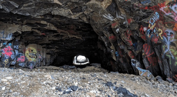
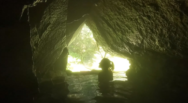
Attractions Head Underground And Experience Years Of Art At This Cave In Washington By Andrea Verschuyl
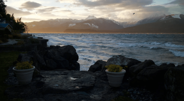
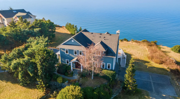
Accommodation You Won’t Believe The Views You’ll Find At This Incredible Airbnb In Washington By Andrea Verschuyl
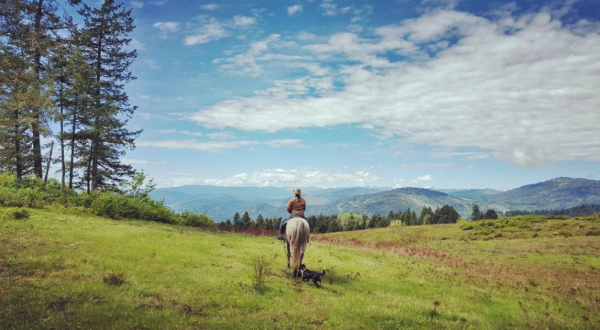
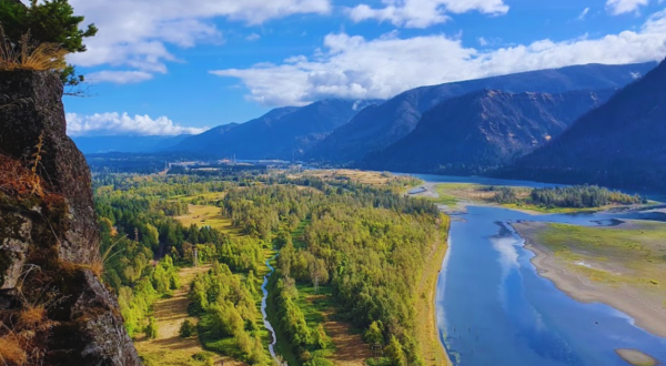
Nature This Easy Trail In Washington Is Covered In Wildflower Blooms In The Springtime By Andrea Verschuyl
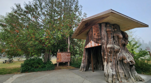
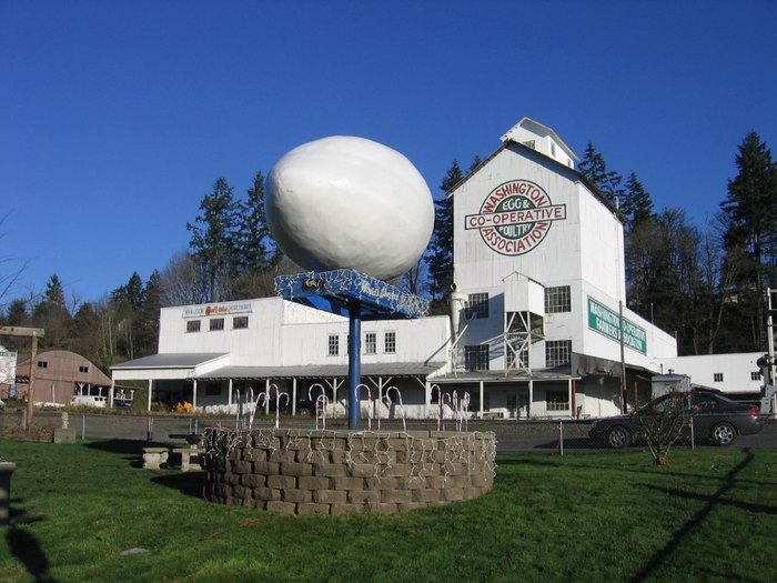
Road trip The Country’s Most Impressive Rest Stop Is Hiding Right Here In Washington By Andrea Verschuyl
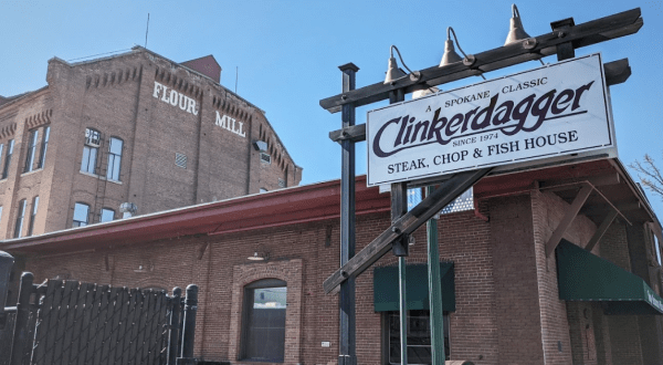
Dining The Gorgeous Riverfront Steakhhouse In Washington With Views As Good As The Food By Andrea Verschuyl
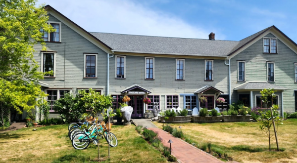
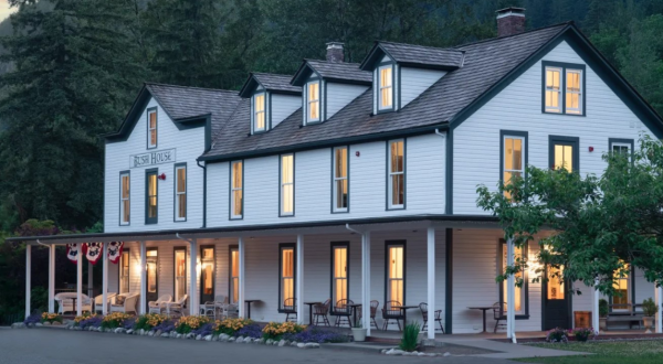
History Stay Overnight In The Oldest Hotel Right Here In Washington At Tokeland Hotel By Andrea Verschuyl
Seasonal The Hulda Klager Lilac Gardens, A Lilac Garden In Washington, Will Be In Full Bloom Soon And It’s An Extraordinary Sight To See By Andrea Verschuyl
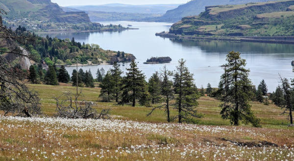
Hiking This Washington Outdoors Paradise Is One Of The Best Places To View Wildflowers By Andrea Verschuyl
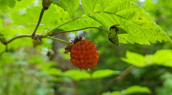
Nature Fill Your Buckets And Bags To The Brim On This Washington Park’s Salmonberry Hiking Trails By Andrea Verschuyl
Explore You Won’t Want To Miss The World-Famous Daffodil Bloom In Washington This Spring By Andrea Verschuyl
Accommodation The Perfect Spring Getaway Starts With One Of These 6 Picture-Perfect Airbnbs In Washington By Andrea Verschuyl
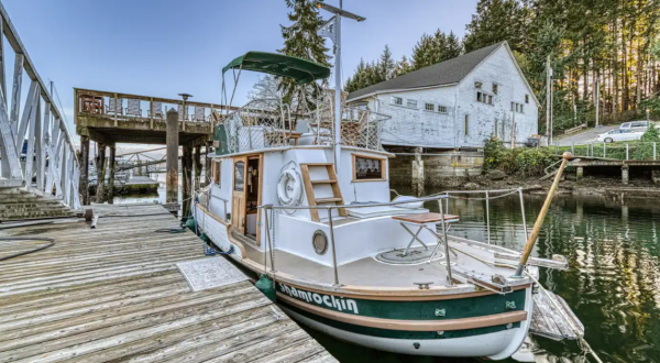
Accommodation This Summer, Take A Washington Vacation On A Floating Bed And Breakfast In Gig Harbor By Andrea Verschuyl
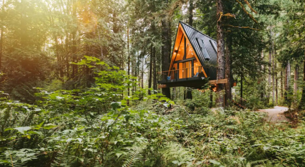
Accommodations Stay In A Stunning A-Frame Overlooking The North Fork Skykomish River In Washington By Andrea Verschuyl
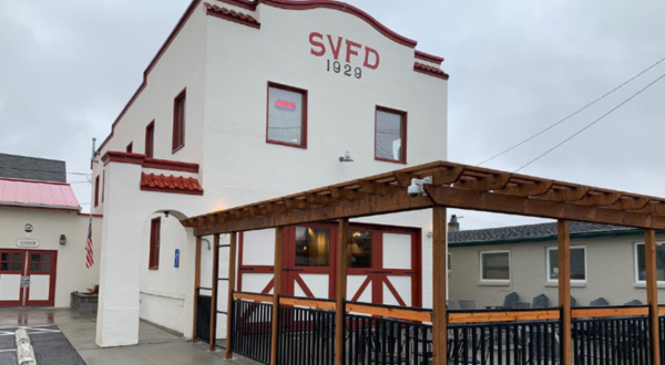
Dining SAAL Brewing Company Is A Firefighter-Themed Restaurant In Washington That Will Make You Feel Like A Kid Again By Andrea Verschuyl
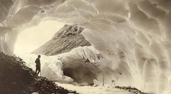
History These Before And After Pics Of Mount Rainier National Park In Washington Show Just How Much It Has Changed By Andrea Verschuyl
Dining Bebop Waffle Shop Is A Waffle-Themed Restaurant In Washington And It’s Everything You’ve Ever Dreamed Of By Andrea Verschuyl
Accommodation The Perfect Washington Getaway To Take If You Have Been Dreaming Of Big Sky Adventure By Andrea Verschuyl
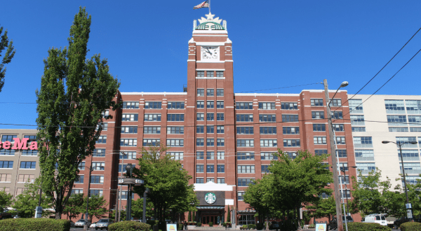
State pride Few People Know The Real Reason Behind Seattle Becoming The Coffee Capital Of The World By Andrea Verschuyl
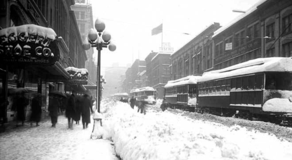
History It’s Impossible To Forget The Year Washington Saw Its Single Largest Snowfall Ever By Andrea Verschuyl
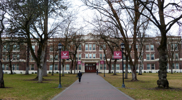
College 9 Surefire Signs That You Attended One Of These Eastern Washington Colleges By Andrea Verschuyl
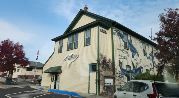
Museums This Unique Museum In Washington Is Perfect For A Day Trip Any Time Of Year By Andrea Verschuyl
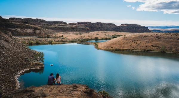
Nature Enjoy A Secluded Stroll On A Little-Known Path Along This Iconic Washington Lake By Andrea Verschuyl
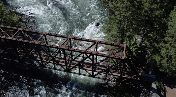
Nature Crossing This 117-Year-Old Bridge In Washington Is Like Walking Through History By Andrea Verschuyl
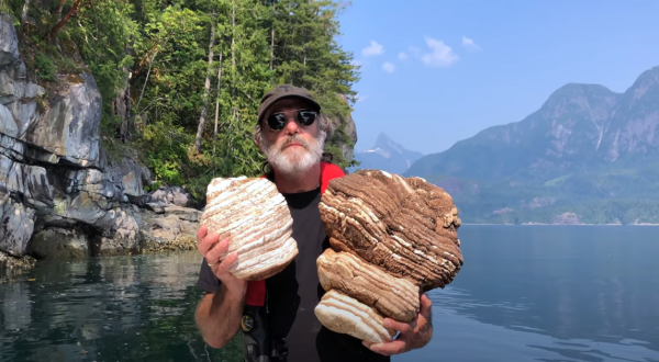
Nature If Washington Had An Official State Biologist, We Would Nominate Paul Stamets By Andrea Verschuyl
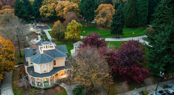
History Esther Short Park In Washington Just Turned 171 Years Old And It’s The Perfect Spot For A Day Trip By Andrea Verschuyl
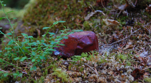
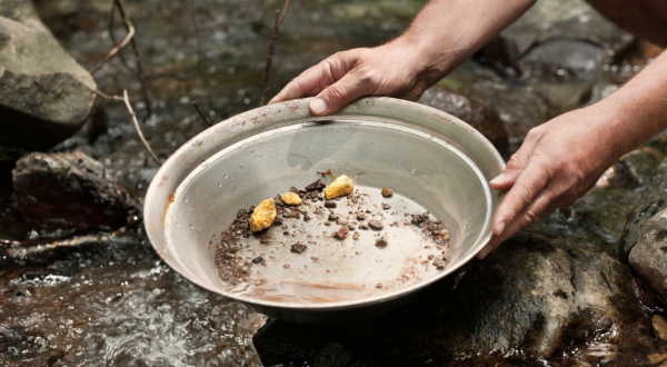
Nature The Story Of Gold In Washington And How Gold Panning Is Making A Big Comeback By Andrea Verschuyl
Nature The Little-Known Hot Springs In Washington That Will Melt Your Worries Away By Andrea Verschuyl
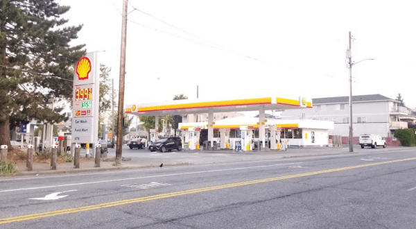
Dining Don’t Pass By This Unassuming Washington Gas Station Without Stopping For Fried Catfish By Andrea Verschuyl
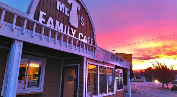
Dining The Small-Town Restaurant That Is Worth A Visit From Anywhere In Washington By Andrea Verschuyl
Seasonal This Popular Swimming Hole In Washington Will Make You Feel Like A Kid On Summer Vacation By Jessica Wick
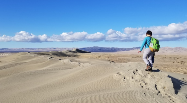
Nature Explore A Wildlife Refuge, Nuclear Site, And Washington’s Sand Dunes In One Day When You Visit This Unique Park In Washington By Andrea Verschuyl
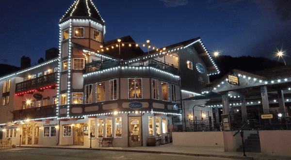
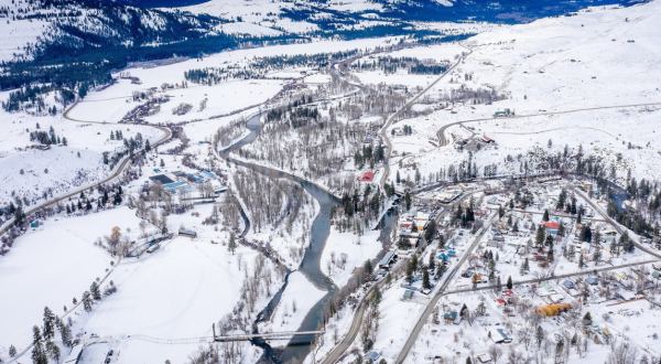
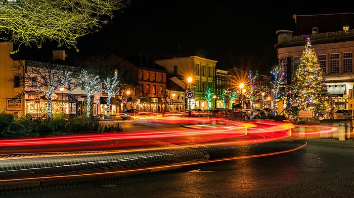
Small town The Cozy Small Town In Washington That Comes Alive Under A Blanket Of Snow By Andrea Verschuyl
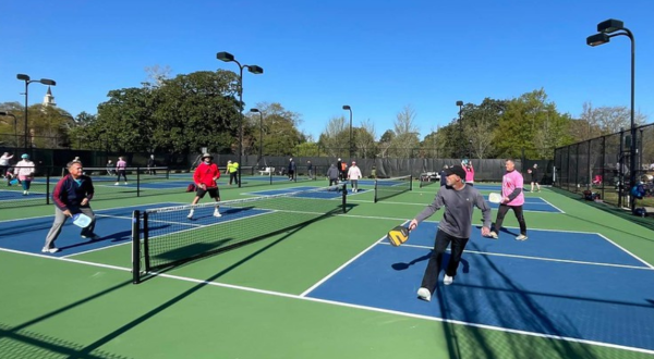
History Most People Didn’t Know That Pickle Ball Was Invented Right Here In Washington By Andrea Verschuyl
Dining Taste The Best Biscuits And Gravy In Washington At This Family-Owned Bakery Cafe By Andrea Verschuyl
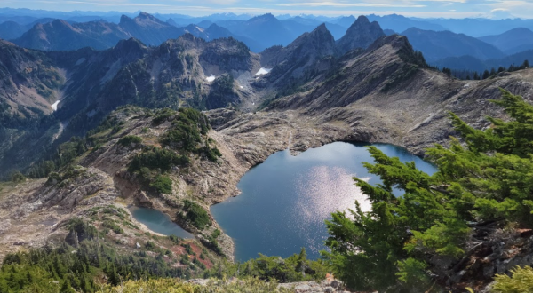
Nature The Iconic Hiking Trail In Washington Is One Of The Coolest Outdoor Adventures You’ll Ever Take By Andrea Verschuyl
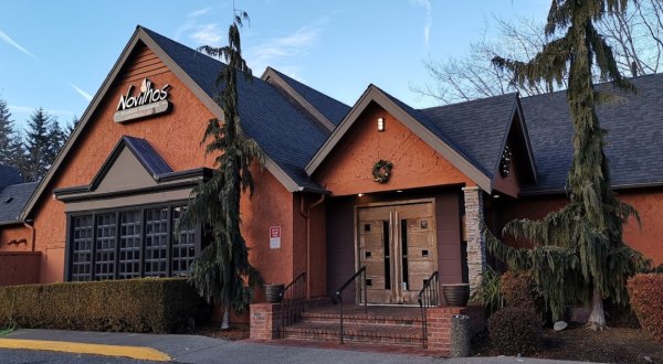
Dining Chow Down At Novilhos Brazilian Steakhouse, An All-You-Can-Eat Churrasco Restaurant In Washington By Andrea Verschuyl