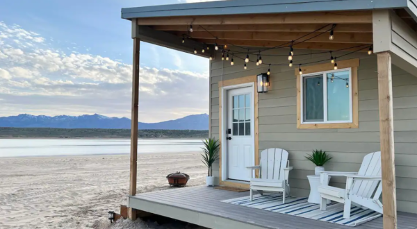
Airbnb 7 Waterfront Retreats In Utah That Are Perfect For Warm Weather Adventures By Courtnie Erickson
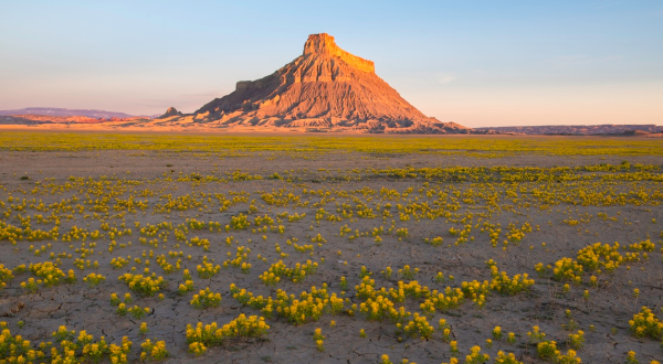
Road trip The Incredible Flower Road Trip Through Utah Is The Ultimate Spring Adventure By Courtnie Erickson
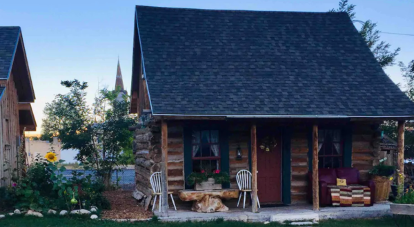
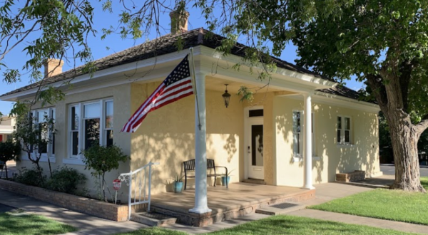
History Get A Glimpse Of Utah History When You Stay In This Original 1860s Pioneer Cabin Airbnb By Courtnie Erickson
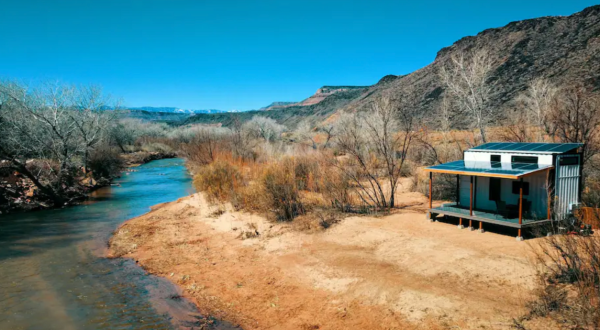
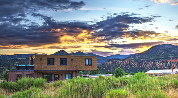
Airbnb The Secluded Shipping Container Tiny Home In Utah Is Just Minutes From Zion National Park By Courtnie Erickson
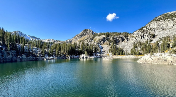
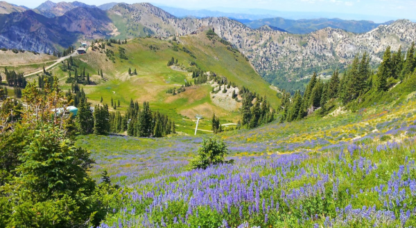
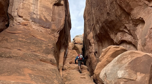
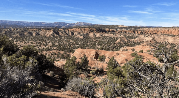
Nature This Remote And Challenging Trail In Utah Is One Of The Best In The State For Adventurers By Courtnie Erickson
Attractions Everyone In Utah Should Check Out These 11 Tourist Attractions, According To Locals By Courtnie Erickson
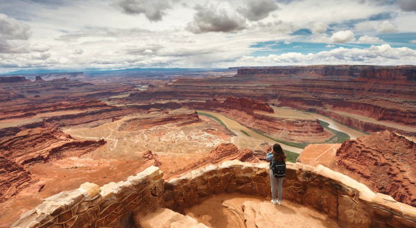
Airbnb You Won’t Believe The Views You’ll Find At This Incredible Airbnb In Utah By Courtnie Erickson
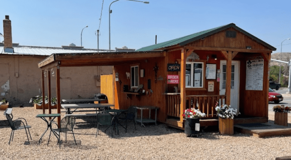
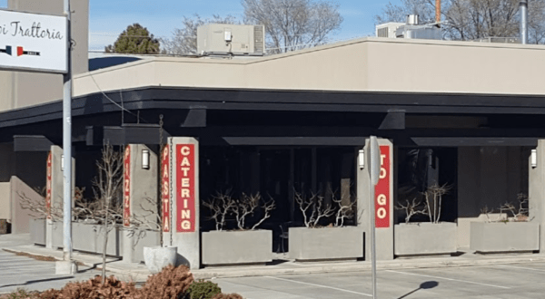
Bbq Take A Drive To The Country To Dine At This Exceptional Rural Restaurant In Utah By Courtnie Erickson
Nature Did You Know Utah Is The Only State Where Each County Features Part Of A National Forest? By Courtnie Erickson
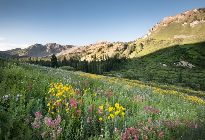
Nature This Recreational Area In Utah Is Covered In Flower Blooms In The Springtime By Courtnie Erickson
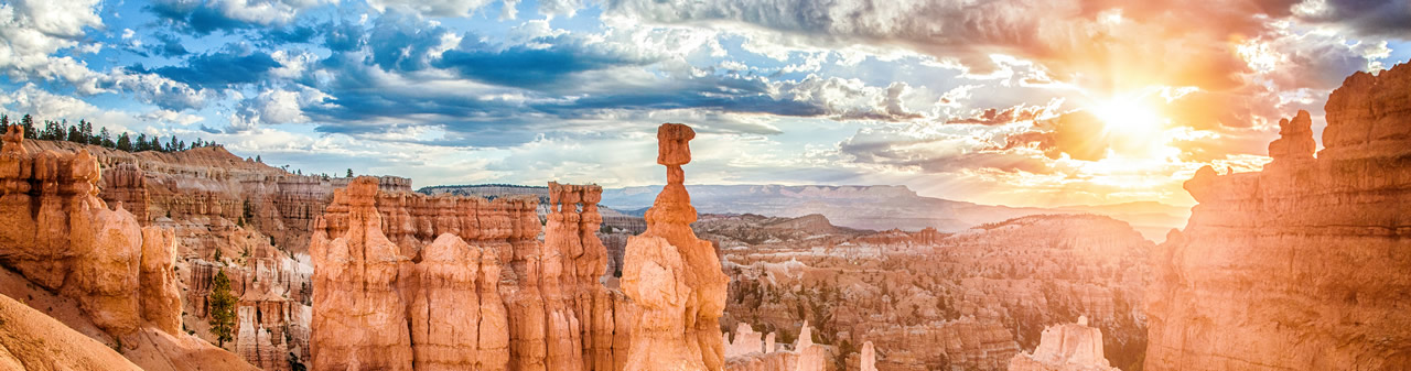
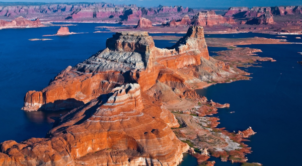
Nature Despite Extremely Low Water Levels, One Of The Top Visited National Park Sites In The Country Is Found In Utah By Courtnie Erickson
Seasonal The Perfect Spring Getaway Starts With One Of These 9 Picture-Perfect Airbnbs In Utah By Courtnie Erickson
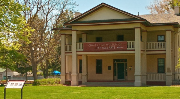
Attractions This Unique Museum In Utah Is Perfect For A Day Trip Any Time Of Year By Courtnie Erickson
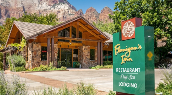
Dining The Perfect Southern Utah Getaway If You Have Been Dreaming Of A National Park Escape By Courtnie Erickson
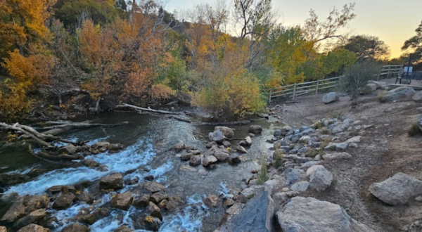
Nature Enjoy A Secluded Stroll On A Little-Known Path Along This Iconic Utah River By Courtnie Erickson
Nature More People Visited Utah’s State Parks Than The Mighty Five In 2023, Making It A Record-Breaking Year By Courtnie Erickson
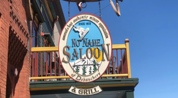
Restaurants The Small-Town Restaurant That Is Worth A Visit From Anywhere In Utah By Courtnie Erickson
Parks Exploring This City Park In Southern Utah Is The Definition Of An Underrated Adventure By Courtnie Erickson
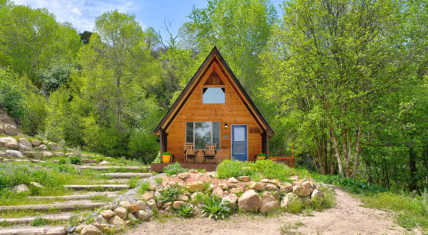
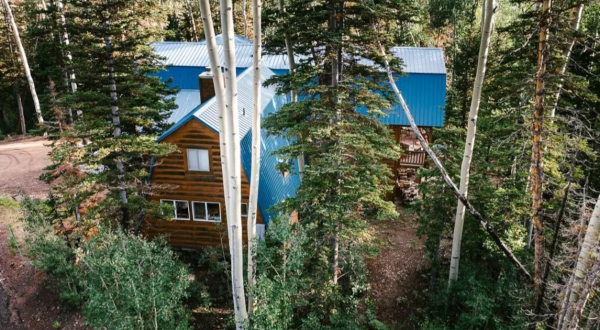
Getaway Relax Next To A River And Down A Country Lane When You Book A Stay At This Charming Utah Cabin By Courtnie Erickson
People to know If Utah Had An Official State Meteorologist, We Would Nominate Kevin Eubank By Courtnie Erickson
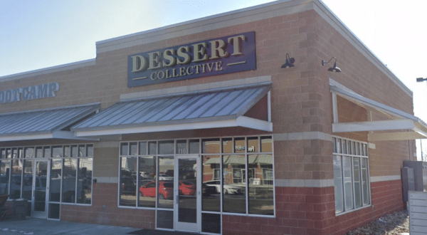
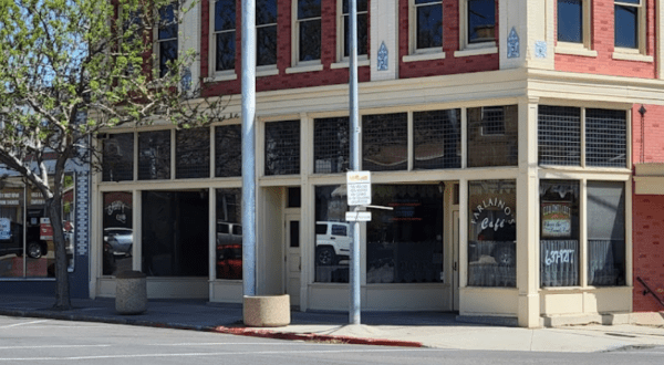
Dining Don’t Pass By This Unassuming Cafe Housed In A Utah Museum Without Stopping By Courtnie Erickson
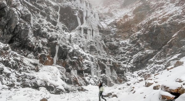
Nature This Iconic Hiking Trail In Utah Is One Of The Coolest Outdoor Adventures You’ll Ever Take By Courtnie Erickson
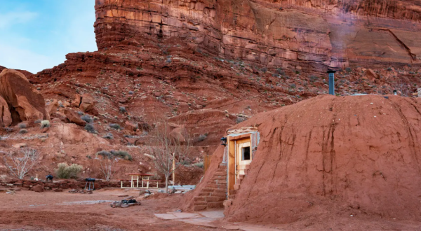
Accommodations Set Up Base Camp Near Multiple Utah National Parks In This Cozy Shipping Container House By Courtnie Erickson
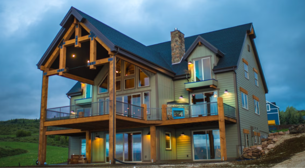
Nature This Cabin With Lake Views And A Splash Pad In Utah Is The Coolest Place To Spend The Night By Courtnie Erickson
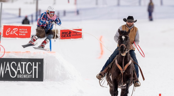
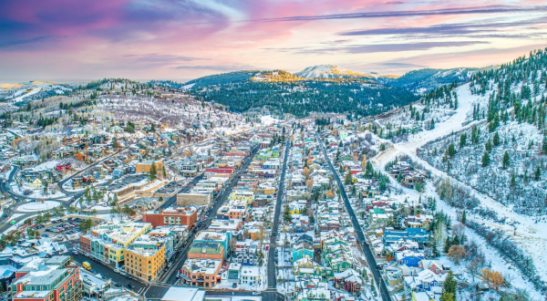
Winter Ski Racing Meets Rodeo In The Streets Of Downtown SLC At This Upcoming Utah Event By Courtnie Erickson
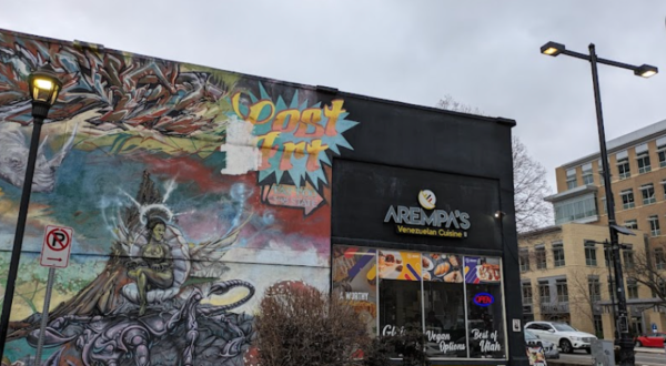
Places to eat Taste The Best Biscuits And Gravy In Utah At This SLC Brunch Restaurant By Courtnie Erickson
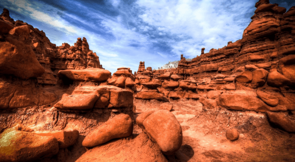
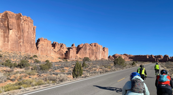
Nature Ride Through Red Rocks, A National Park, State Park, And More During This Unique 4-Day Utah Festival By Courtnie Erickson
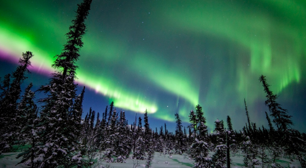
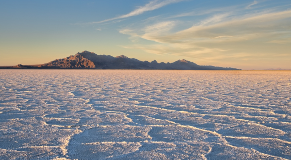
Nature The Little-Known Natural Wonder In Utah That Becomes Even More Enchanting In The Wintertime By Courtnie Erickson