The Most Dangerous Hike In Missouri Is Loaded With Mystery And Beauty
By Liz Oliver|Published August 05, 2018
×
Liz Oliver
Author
Liz is a Missouri native with a B.A. in English from Mizzou and a M.A. in Non-Profit Administration from Lindenwood University. She works for a STL metro-area community college and enjoys writing, traveling, and indoor cycling. Her true passion is forcing her encyclopedic knowledge of Missouri facts on uninterested strangers from across the globe!
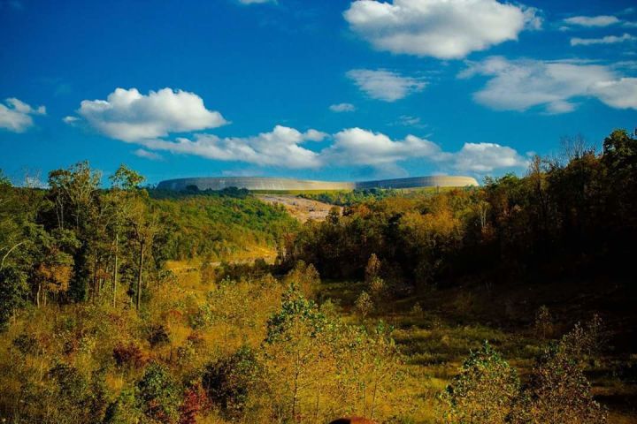
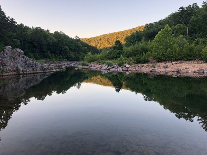
There are so many gorgeous hikes you can take in the Show Me State. Although Missouri isn’t known for it’s rigorous hiking trails, there are some difficult treks that even advanced hikers would find challenging. If you’re looking for the ultimate challenge through some rough terrain that leads to gorgeous scenery, we know the perfect trail for you! Head to Mark Twain National Forest for walk on the wild side.
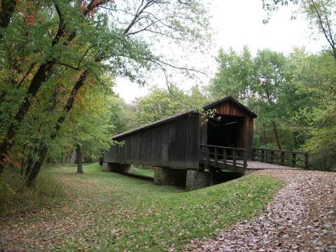
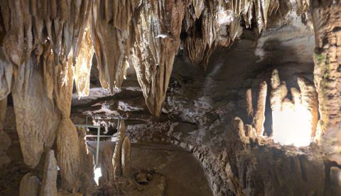
If you’re not an experienced and serious hiker this tail is probably best admired through photos. You can also experience many of the sites located along this trail through much shorter state park hikes. Check out Johnson Shut-Ins State Park or Taum Sauk Mountain State Park for more info about the shorter trails.
Stretching across the Missouri Ozarks is a trail system that spans 390 miles. There are many trails that make up this large system, some routes are just a few miles long while others are over 100 miles in length. In this system are some difficult hikes but Taum Sauk section on the Ozark Trail may just be Missouri's most challenging and thus most dangerous.
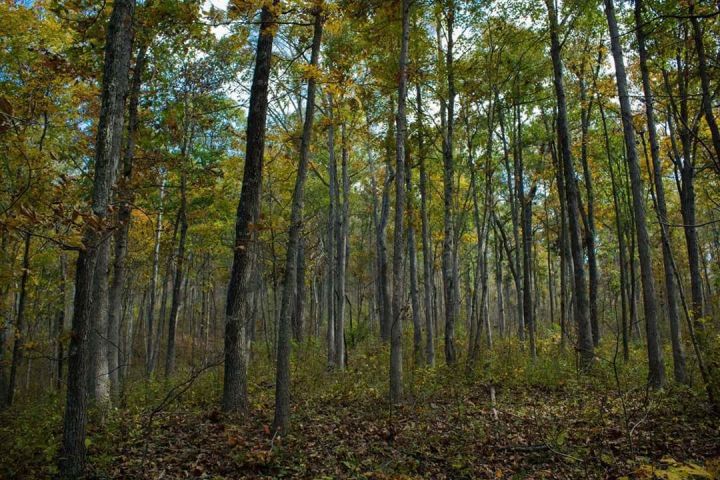
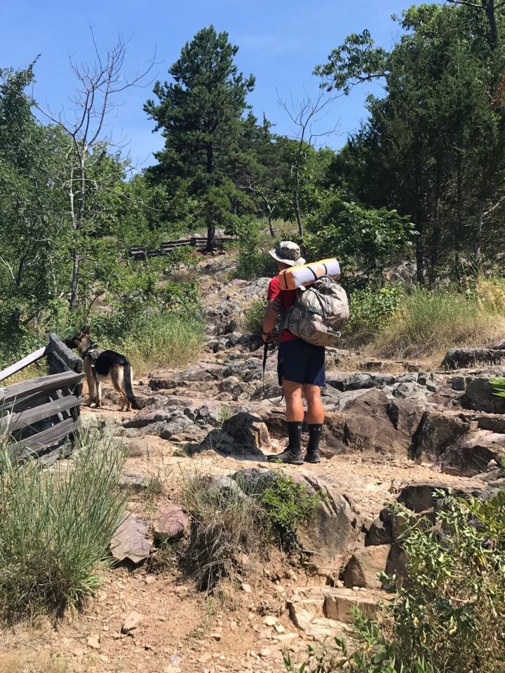
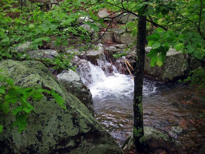
The Taum Sauk section is a whopping 14.5 miles long and traverses over rough terrain, major inclines, and some wet areas. This is a trail you definetly want to be prepared to take on. With that being said, it is one of Missouri's most popular trails for experienced hikers!
Plan to spend all day, if not two, out on this trail. Most hikers who complete this trail will do it in 12 hours, although if you stop to enjoy the views or to take a swim it could easily take a few more hours.
Pay attention to the markers as you hike. The Ozark Trail travels over land owned by different agencies and the signs are not always uniform. Although the trail is well marked, always bring a map because cell services is not always reliable in the areas.
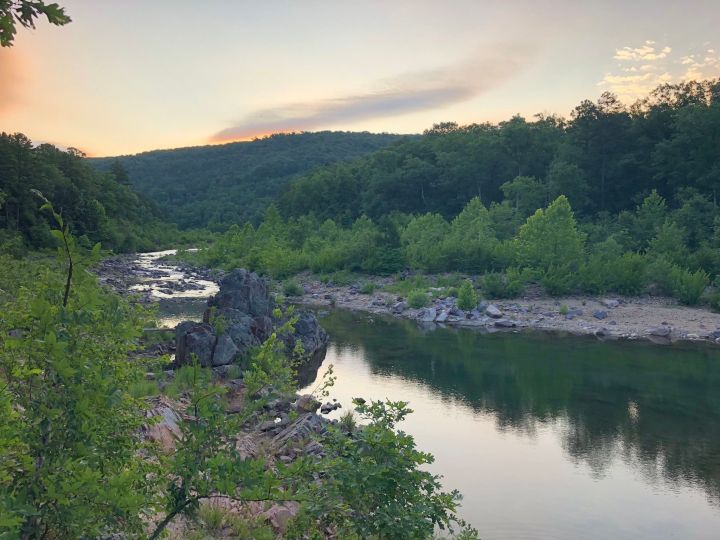
Be sure to pack for this hike. You will need to bring plenty of water, there is nearly 9 miles of trail to blaze before you encounter any. The trail is also very rocky so bringing a first aid kit is absolutely necessary! Plus, if you plan to hike this during warmer weather you will also want to bring sunscreen and bug spray, don't forget to reapply both.
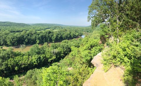
Many experienced hikers choose to tackle this trail over the course of two days. Primitive camping is allowed along the trail, except within two miles of of Johnson Shut-In’s main parking lot. Be sure to set up camp at least 100 feet from the trail.
There is so much to love about the Ozark Trail. Don't hesitate to get your feet wet by trying out a shorter trail throughout the system. If you do try the Taum Sauk portion, be advised that this trail is a point-to-point trail. When you reach the clearing for the power lines, you've made it about half way.
Remember, this hike is not for the faint of heart. USe the map below to find the trailhead off Highway A near Belleview.
Have you hiked the Taum Sauk Section of the Ozark Trail? What about some of the shorter treks along the route? Tell us what you think about this hike or similar ones in the comments below.