
The Magnificent Bridge Trail In Arizona That Will Lead You To A Hidden Overlook
×

Robin Jarvis
Author
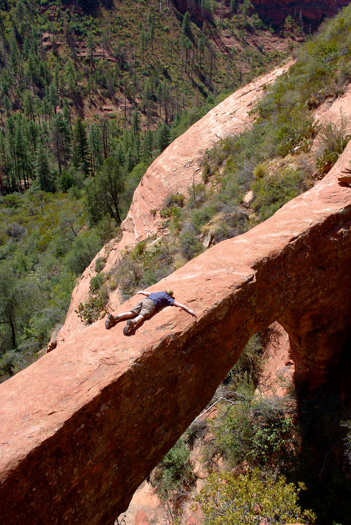
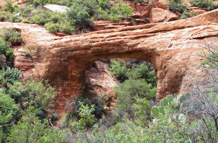
It’s time to dust off the hiking boots and enjoy reconnecting with nature while discovering one of Arizona’s natural wonders. This trail takes you into the heart of red rock country to discover a breathtaking natural bridge.

Advertisement
Advertisement
Related Stories
Hike To This Mystical Rock In Arizona That’s Said To Have Healing Powers

One Of America's Most Haunted Trails Is Right Here In Arizona And You Won't Want To Hike It Alone
The Awesome Hike That Will Take You To The Most Spectacular Fall Foliage In Arizona


I guess we’ll see you out there! Right?
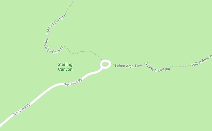
The Vultee Arch trail is located near Sedona. Get directions to the trail head from this link.
It’s no coincidence that another Arizona natural bridge (Devil’s Bridge) is just up the road from this natural arch. Have you hiked to Devil’s Bridge? Read more here.
OnlyInYourState may earn compensation through affiliate links in this article. As an Amazon Associate, we earn from qualifying purchases.