
The 10 Best Waterfall Trails In Alabama To Hike Right Now

Jennifer Young
Author
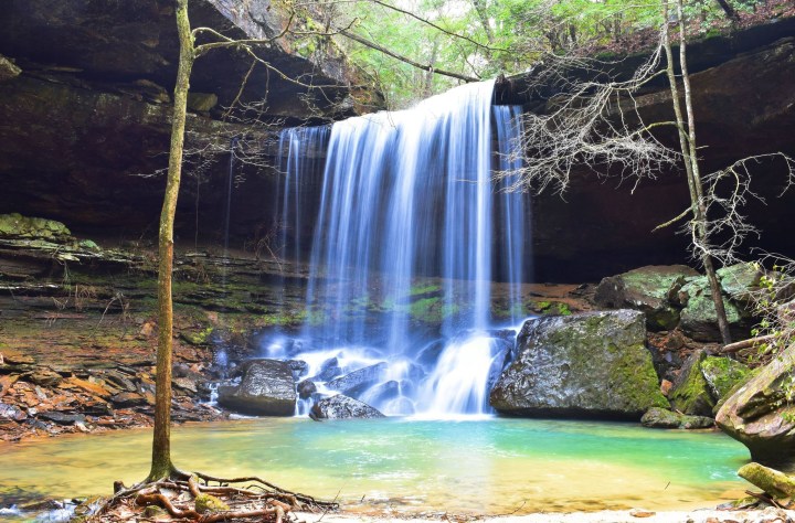
Without a doubt, Alabama is a hiker’s dream! There are many types of hiking trails located throughout the Yellowhammer State, including several with waterfalls. Listed below, we’ve included the 10 best hiking trails in Alabama with waterfalls, according to AllTrails. You’ll want to hike them all.


Related Stories
A Hidden Paradise In Alabama, This Whimsical Cottage Has Its Very Own Private Waterfall
With Waterfalls, Overlooks, And Swimming Holes, You'll Love The Pin-Chin-Sky Loop Hike In Alabama
The Enchanting Sipsey Wilderness In Alabama Is One Of The Best Places To Enjoy Autumn


Have you ever hiked any of these 10 waterfall trails? If so, please share your experience(s) with us in the comments. Also, please share with us your favorite hiking spot in Alabama.
For more information about Alum Hollow Trail, be sure to take a look at the following article: Alum Hollow Trail In Alabama Will Lead You Straight To A Hidden Waterfall And Cave.
When you followed the links to the AllTrails sites for each of these waterfall hikes in Alabama, you may have noticed there was an option for additional information. AllTrails+ is a paid subscription that unlocks more map details, brings trails to life in 3D, and provides many more helpful details for your hikes! Try it for free and you’ll see how much you like it!
OnlyInYourState may earn compensation through affiliate links in this article. As an Amazon Associate, we earn from qualifying purchases.
More to Explore
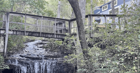
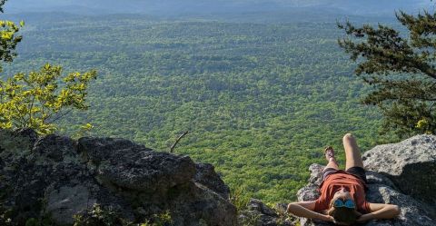
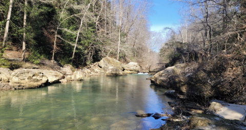
Waterfall Trails In Alabama
What is a unique way to see some waterfalls in Alabama?
Alabama is full of caves, caverns and waterfalls, many of which make for incredible hikes. If you are eager to see quite a few of these, check out this road trip of waterfalls in Alabama that’s been created for your viewing pleasure. Along the way you will stop at places such as:
- Moss Rock Preserve in Hoover sits on nearly 350 acres of natural beauty, including various cascading falls
- Noccalula Falls in Gadsden is one of the best waterfalls in Alabama, with water falling 90 feet over Lookout Mountain Ledge
- DeSoto Falls in Mentone has the popular opinion of being one of the most beautiful waterfalls in the South
What are some additional hiking trails in Alabama with waterfalls?
If you’re still looking to hit the trail and see some gorgeous water features on the way, here are a few more waterfall hikes in Alabama to consider:
- Rainbow Falls in Dismals Canyon
- Peavine Falls in Oak Mountain State Park
- Caney Creek Falls in William B. Bankhead National Forest
For more information on these and more, check out this article on some of the best waterfall hikes in Alabama.