
The Story Behind Nebraska's 'Ghost Counties' Will Leave You Baffled

Delana Lefevers
Author
If you were to look at a map of the brand new state of Nebraska 149 years ago, you may have been looking at a picture of ghosts…ghost counties, that is. At the time, western Nebraska was still wild and sparsely populated, and not many people really knew what was out that way. Popular mapmaking company Colton printed maps with six counties in western Nebraska that did not exist…and the mistake wasn’t caught and corrected for a decade.

The Colton map showed the counties of Grant, Harrison, Jackson, Lyon, Monroe, and Taylor. At the time, none of those counties actually existed.
Related Stories
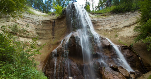
Best Waterfalls in Nebraska: 9 Local Favorites & Hidden Gems

Nebraska's New Interactive Science Museum Offers Tons Of Fun For All Ages

The Little-Known Story Of River Otters In Nebraska And How They're Making A Big Comeback

For more than a century, no one knew how the imaginary counties came to be on the Nebraska map. Then Western Nebraska Community College English instructor Brian Croft dug into the archives of the Nebraska State Historical Society and found the old legislative bill. For the entire story, be sure to check out this article in NebraskaLAND magazine.
OnlyInYourState may earn compensation through affiliate links in this article. As an Amazon Associate, we earn from qualifying purchases.