
Here Are The Oldest Photos Ever Taken In Charlotte And They’re Incredible
×

Carolyn Mulvihill
Author
The city of Charlotte has been on the map since 1768 – can you believe it? That’s almost 250 years. Have you ever wondered what our city looked like before now? We found some of the oldest pictures ever taken of Charlotte and wanted to share, just in case you were interested.

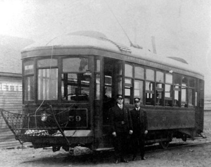
This building has since been turned into condos. The Atherton Mill building that still exists today was actually the historic trolley station where mill workers began and ended each day as they caught their ride to and from the mill.
Advertisement
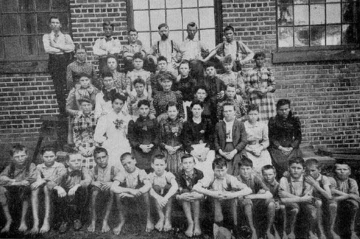
You'll notice how young the workers are, the average age was 11 to 12 years old.
Advertisement

Related Stories

One Of The Oldest Airports In The U.S., Charlotte Douglas International Airport In North Carolina, Is Now 88 Years Old

One Of The Oldest Buildings In North Carolina Was Built For Hezekiah Alexander, Signer Of The Mecklenburg Declaration
Here's What Life In Charlotte Looked Like In The Early 20th Century

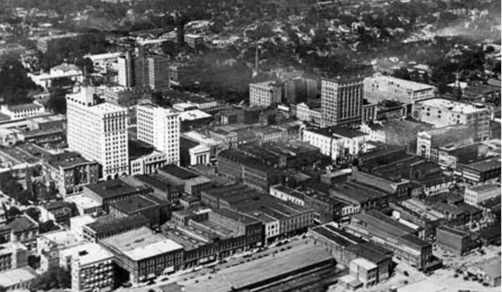
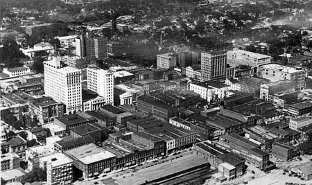
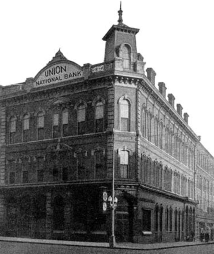
This is an image of Charlotte's First National Bank which was located on Tryon St.

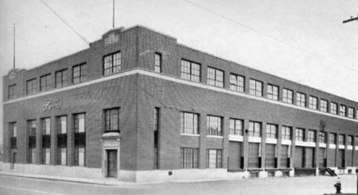
Sears, Roebuck & Company was a major employer in the early 20th century.
Advertisement

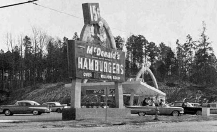
You could get a hamburger here for $.15 back in the day. What a steal!
How long have you lived in Charlotte? Do you have any pictures you can show us? Share them in the comments.
OnlyInYourState may earn compensation through affiliate links in this article. As an Amazon Associate, we earn from qualifying purchases.